ZL190PLUS Handheld GPS for Surveying, High Precision Land
ZL190PLUS Handheld GPS for Surveying, High Precision Land Surveying Equipment, Land Surveyors Tools, Handheld Land Measuring tool for Forest Farmland Mountain Mining Lake
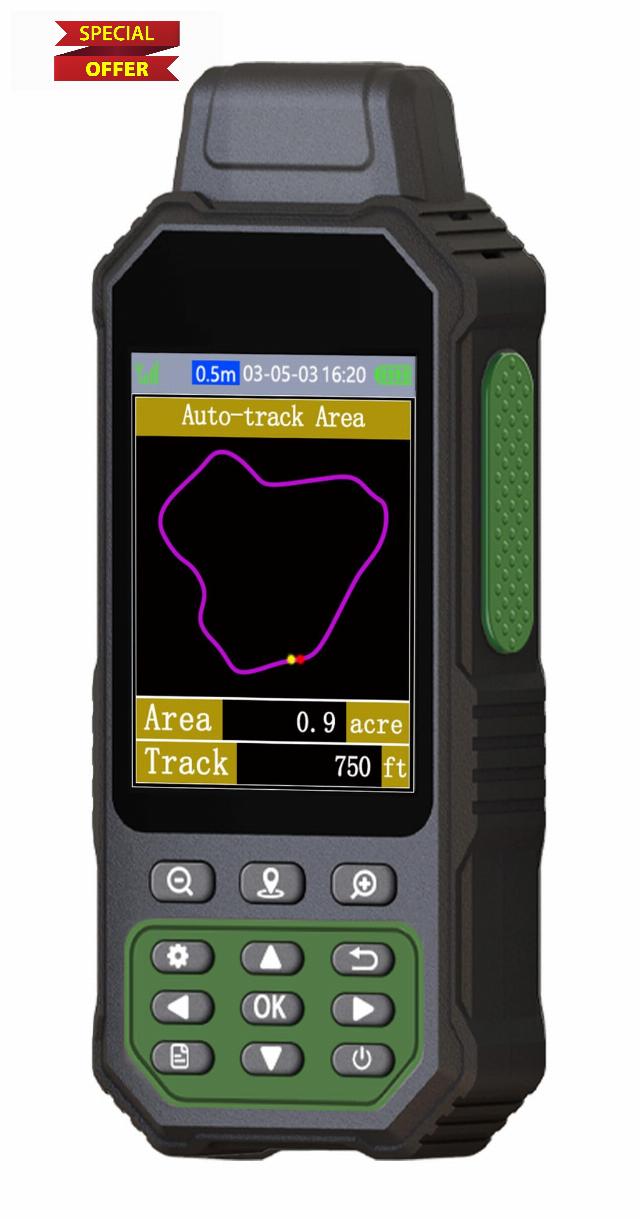
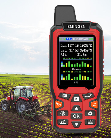
- HIGH PRECISION ACCURACY: Great support 4 navigation satellite system,GPS+BEIDOU+GLONASS+QZSS ,strong satellite signal,area measurement error in 0.002 acres
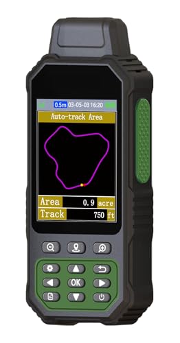
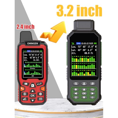
- 3.2'' LARGE SCREEN: Equipped with TFT backlight display, the measurement results can be displayed on the screen clearly, convenient for observation
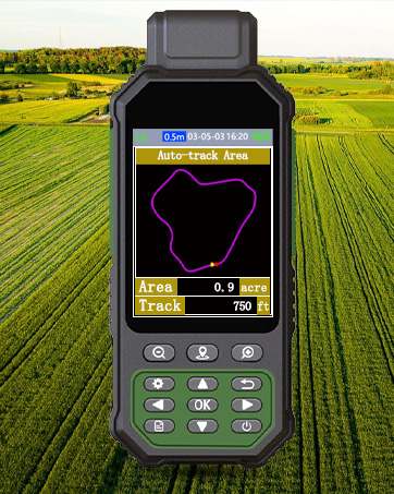
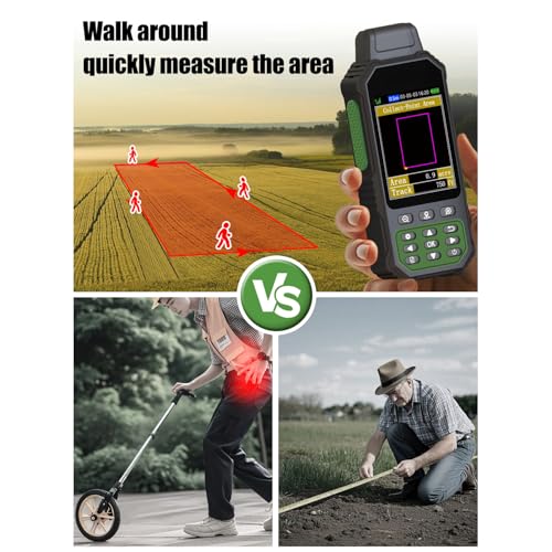
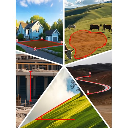
- 5 IN 1 MEASUREMENT: The area of any terrain (gardens, parking lots, pastures and flat lands) can be measured, curve line distance and slope can be measured
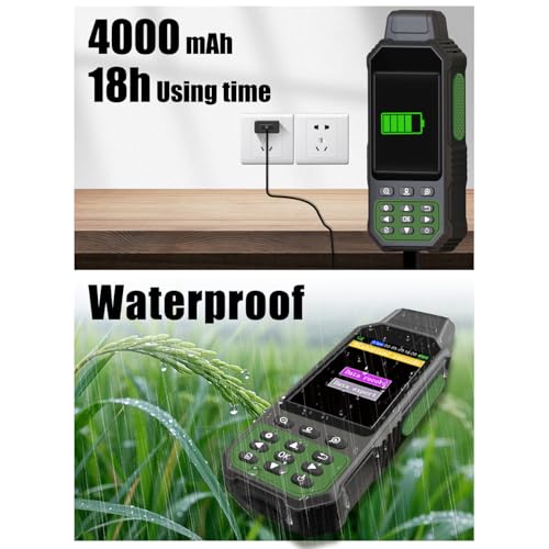
- DURABLE DESIGN: IP67 waterproof strong dust-proof function.Portable design, fits in your hand or pockets perfectly, equipped wrist strap lets you hold the meter steady and carry
- WHAT YOU GET: 1x GPS Surveying Equipment, 1x User Manual, 1x Charge Cable, 1x Hand Strap. 2 year manufacture.Please be sure to read the User Manual carefully before operating


| SKU: | B0DQZ7HCL4 |
| Weight: | 15.5 ounces |
| Dimensions: | 2 x 1 x 6 inches |
| Model: | 190plus |
| Batteries Required: | Yes |
| Batteries Included: | Lithium Ion |
| Manufacture: | NiesahYan |
From the brand


ZL180 Land Surveying Equipment
How do we start?
Our team consists of a group of engineering professionals whose constant exploration of new technological areas ensures that our products are at the forefront of the market.
What makes our company unique?
We firmly believe that product quality is the key to our success. This is a core belief that we have always held and it permeates all our decisions and actions.
Why do we love what we do?
Providing cost-effective GPS measuring tools and handheld GPS units for consumers around the world. Just give up the complex labor-intensive tools and making people's lives easier and better!